
চিত্ৰ:BlankMap-World-1962.png
মূল ফাইল (1,357 × 628 পিক্সেল, ফাইলৰ মাত্ৰা: 48 KB, MIME প্ৰকাৰ: image/png)
| এই ফাইলটো ৱিকিমিডিয়া কমন্সৰ পৰা আমদানি কৰা হৈছে। ফাইল বিৱৰণ পৃষ্ঠাৰ সবিশেষ তথ্য তলত উল্লেখ কৰা হ’ল ।
|

|
This locator map image could be re-created using vector graphics as an SVG file. This has several advantages; see Commons:Media for cleanup for more information. If an SVG form of this image is available, please upload it and afterwards replace this template with
{{vector version available|new image name}}.
It is recommended to name the SVG file “BlankMap-World-1962.svg”—then the template Vector version available (or Vva) does not need the new image name parameter. |
সাৰাংশ
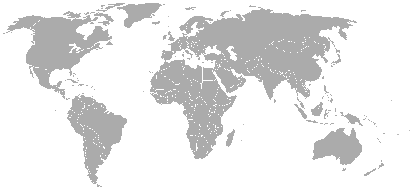
World map with 1962 borders. This is accurate between July 1, 1962 (Belgian colony of Ruanda-Urundi separated into Rwanda and Burundi.) and August 31, 1963 (Singapore, Sabah, Sarawak and Malaya join to form Malaysia). See list for more information.
| Blank maps of the world for historical use | |
| pre-1800 | |
|
19th century | |
|
20th century | |
|
1902 · 1912 · 1914 · WWI · Aug 1918 · 1920 · 1921 · 1924 · 1926 · 1935 · 1937 · Mar 1938 · Oct 1938 · Mar 1939 · Oct 1939 · WWII · Nov 1942 · May 1945 · 1957 · 1959 · 1962 · 1968 · 1970 · 1985 · 1990 · 1993 | |
|
21st century | |
| (this template: · view · discuss ) | |
.PNG)
derivative works
Derivative works of this file: FLN soccer team visited countries.png
অনুজ্ঞাপত্ৰ

|
GNU Free Documentation License ৰ চুক্তিসমূহৰ অন্তৰ্গত এই দস্তাবেজ কপি, বিতৰণ আৰু/অথবা সলনি কৰাৰ অনুমতি প্ৰদান কৰা হৈছে, সংস্কৰণ 1.2 অথবা Free Software Foundation দ্বাৰা প্ৰকাশ কৰা পিছৰ যিকোনো সংস্কৰণত; কোনো অপৰিবৰ্তনশীল অংশ, কোনো ফ্ৰন্ট-কভাৰ টেক্সট, আৰু কোনো বেক-কভাৰ টেক্সট নহোৱাকৈ। অনুজ্ঞাৰ এটা কপি GNU Free Documentation License নামৰ অংশত অন্তৰ্ভুক্ত কৰা হৈছে। |
| এই ফাইলটো ক্ৰিয়েটিভ কমন্স এট্ৰিবইউচন-চেয়াৰ এলাইক ৩.০ আন্প'ৰ্টেড অনুজ্ঞাপত্ৰৰ অধীনত। | ||
| ||
| এই অনুজ্ঞা টেগ এই ফাইলত GFDL অনুজ্ঞা আপডেইট ৰ অংশ হিচাপে যোগ কৰা হৈছিল। |
ফাইলৰ ইতিবৃত্ত
ফাইলৰ আগৰ অৱস্থা চাবলৈ সেই তাৰিখ/সময়ত ক্লিক কৰক।
| তাৰিখ/সময় | ক্ষুদ্ৰ প্ৰতিকৃতি | আকাৰ | সদস্য | মন্তব্য | |
|---|---|---|---|---|---|
| বৰ্তমান | 02:49, 24 September 2007 | | 1,357 × 628 (48 KB) | Hoshie | put the (N/S) Yemen boundary in white due to the fact the boundaries in southern Saudi Arabia have been disputed, undemarcated, or undisclosed over the years. |
| 00:43, 6 August 2007 |  | 1,357 × 628 (48 KB) | Hoshie | Added Cabinda; under same lic. as original. | |
| 10:27, 28 January 2007 |  | 1,357 × 628 (48 KB) | Hoshie | added Ifni, a Spanish enclave. | |
| 23:54, 5 January 2007 |  | 1,357 × 628 (48 KB) | Roke~commonswiki | Blank world map with 1962 borders. This is accurate between December 19, 1961 (India takes over the Portugese colony of Goa) and July 1, 1962 (Belgian colony of Ruanda-Urundi separated into Rwanda and Burundi.) See [[w:List of national border changes sinc |
ফাইল ব্যৱহাৰ
এই ফাইলটো কোনো পৃষ্ঠাই ব্যৱহাৰ কৰা নাই
ফাইলৰ গোলকীয় ব্যৱহাৰ
তলত দিয়া আন ৱিকিসমূহে এই ফাইলটো ব্যৱহাৰ কৰে:
- ca.wikipedia.org-ৰ ব্যৱহাৰ
- es.wikipedia.org-ৰ ব্যৱহাৰ
- fr.wikipedia.org-ৰ ব্যৱহাৰ
- nl.wikipedia.org-ৰ ব্যৱহাৰ